When you follow the Huron River Water Trail, you assume responsibility for your own safety.
USGS Stream Gages: Get River Level Data!
Construction Updates Impacting River Use 2025
River Closures. This means no paddling or access. You will not be able to paddle through these areas.
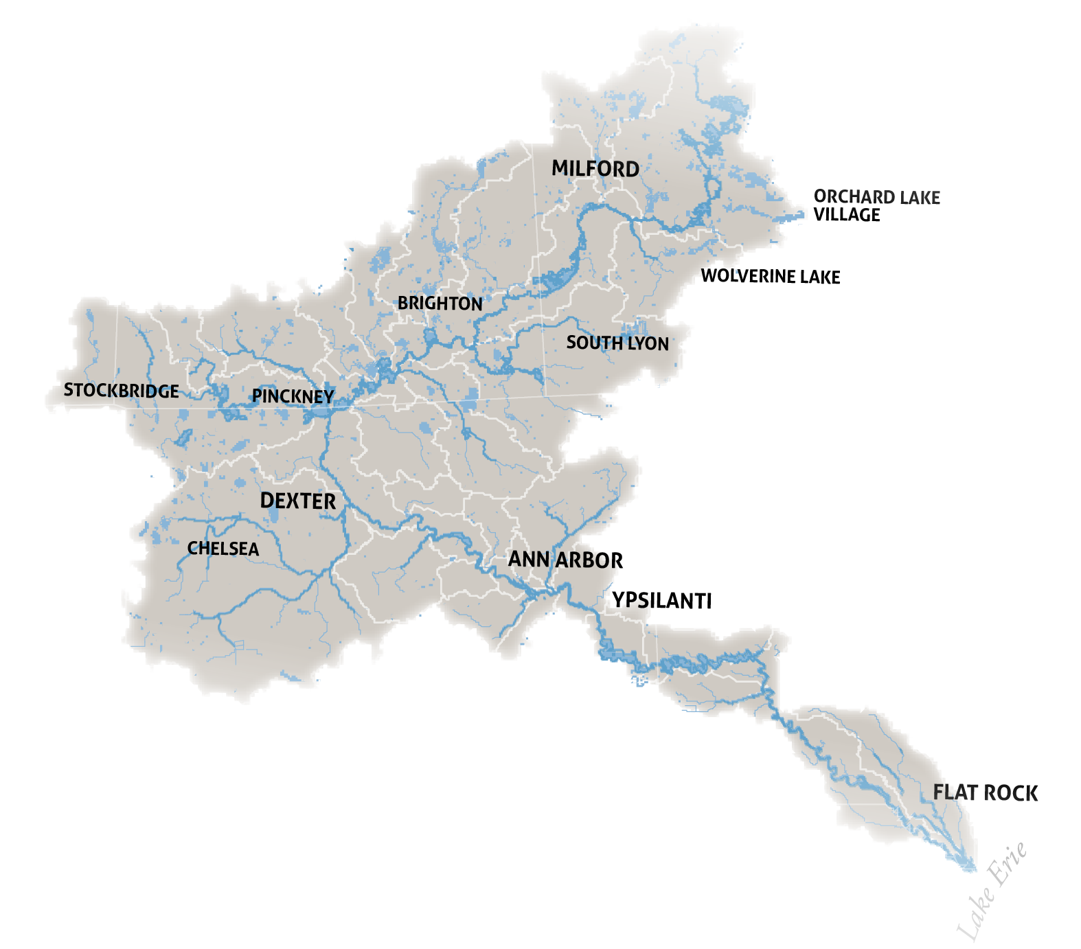
CLOSED for 2025: Huron River at Rickett Road, Huron Meadows Metropark, Green Oak Township, Livingston County, near River Mile 81. Construction to replace the superstructure of the Rickett Road Bridge downstream of US-23 will occur in 2025. Nearest upstream public access is at Island Lake State Recreation Area (Placeway). Nearest downstream public access is at Huron Meadows Metropark (Cedar Ridge). Please contact the Livingston County Road Commission for information.
CLOSED for 2025, starting September 10th: Flook Dam Portage at the downstream end of the Portage Lake Chain, Washtenaw County, near River Mile 69. Construction to repair Flook Dam will occur in 2025. The nearest upstream public access is the DNR Boat Launch for Portage Lake on McGregor Road. Paddlers should exit there and NOT put in expecting downstream access. The nearest downstream public access below the portage is at Hudson Mills Metropark (Rapids View Launch). Please contact the Washtenaw County Water Resources Commissioner’s Office for information, 734-222-6860.
CLOSED until 2027: Huron River at Barton Dam includes the portage and Barton Pond access, City of Ann Arbor, Washtenaw County at River Mile 54. Construction to remediate the embankment at Barton Dam is underway as of February 2025. As a result, public access is prohibited. Both embankments on Barton Pond that are to the right and the left of the dam are closed, this includes the wood dock on the west embankment that provides access to/from the pond and portage, the stairs and canoe/kayak slide, the footbridge under the railroad tracks and the lower in-river access point just below the dam. Nearest official maintained upstream public access is at Delhi Metropark. Nearest official downstream public access is at Bandemer Park. Please see the City’s project website for details and information.
CLOSED until further notice: Downstream portage stairs at French Landing Dam on Belleville Lake, Van Buren Township, Wayne County near River Mile 28. The downstream portage stairs at French Landing Dam are closed as of May 2024 until further notice. Seek an alternative portage route or arrange for transportation. Nearest upstream access is at French Landing Park. Nearest downstream access is at Lower Huron Metropark (North Fishing Site). Please contact the Van Buren Township Parks Department with inquiries regarding pending repairs and available facilities. Phone: 734-699-8921.
SPECIAL CAUTION ADVISORY due to conditions at Hull’s Trace, Wayne County, River Mile 0. The launch and restroom facilities at Hull’s Trace have fallen into disrepair. We have notified Wayne County Parks that the restroom is nonfunctional, the launch surface has degraded, and that other infrastructure needs immediate attention. Several paddlers and partner organizations have raised concerns about the safety and integrity of the launch area. Be advised and proceed with caution. Please share concerns with Wayne County Parks and Recreation at the County’s website. Nearest downstream access is at Pointe Mouillee State Game Area (launch).
Advisories
There are currently two PFAS advisories that apply to the Huron River:
Touching the fish or water and swimming in the Huron River is not considered a health concern as PFAS, which includes PFOS, do not move easily through the skin. An occasional swallow of river or lake water is also not considered a health concern. Avoid contact with foam on the river. Keep pets and kids away from it. Wash hands, pet fur, and rinse off after getting out of the water.
Report Safety Concerns
To report your observations of safety concerns due to dangerous conditions please contact the Water Trail Manager at the Huron River Watershed Council, Daniel Brown at [email protected] or 734-769-5123. Include your name along with the date, time, and specific descriptions and location or address of your observation and a photo if possible.
For emergencies including hazardous spills, please call 9-1-1.
To report illegal dumping or other environmental pollution concerns please call the Michigan Department of Environment, Great Lakes and Energy’s Emergency Alert System, 800-292-4706.
Contact Outfitters
The Outfitters that serve the Huron River are the best source of information on current river
conditions. Contact the outfitter in the section of river you plan to paddle in advance of your trip for
their observations. If they have closed a river trip for safety, you should avoid that area.
Current Conditions
WaterWatch Streamflow Map
Daily Statistics for Ann Arbor Area
Daily Statistics for Hamburg Area
Daily Statistics for Dexter Area
Daily Statistics for Milford Area
For experienced paddlers who have paddled the Huron River in different seasons over multiple years, the U.S. Geological Survey (USGS) provides maps, graphs, and tables describing current and past streamflow. Information generally is updated on an hourly basis, and for the Huron River, is limited to the four locations identified.
USGS graphs show the flow of the river measured as cubic feet per second of discharge and the water level measured in feet. Users can compare current streamflow with median statistics from past seasons.
