The Paddler’s Companion 4th Edition
$31 – Paddler’s Companion (includes shipping and sales tax)
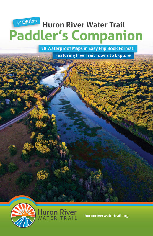
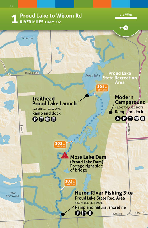
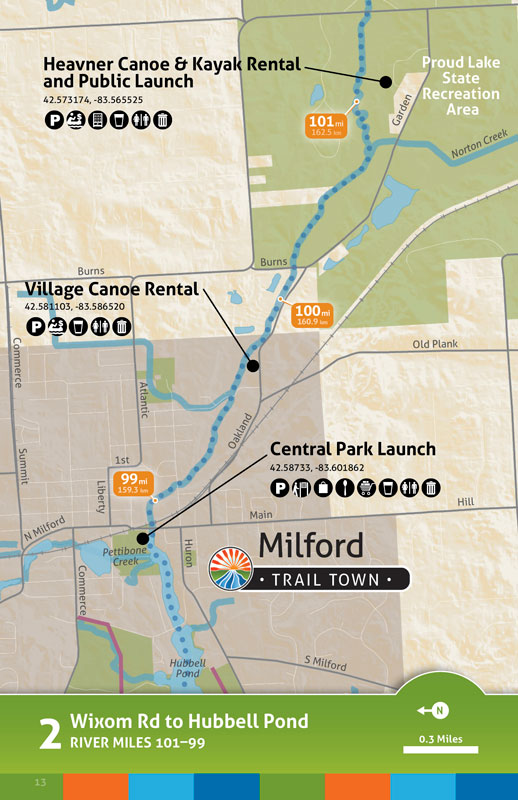
The Huron River is one of the most popular paddling and fly-fishing destinations in Michigan. The Paddler’s Companion waterproof map flipbook is an essential guide for your trip on the river.
The new Paddler’s Companion 4th Edition waterproof map flipbook is ready to ship!
- 28 beautiful color maps in an easy flipbook format
- Durable, waterproof pages with rounded corners and a spiral ring binding
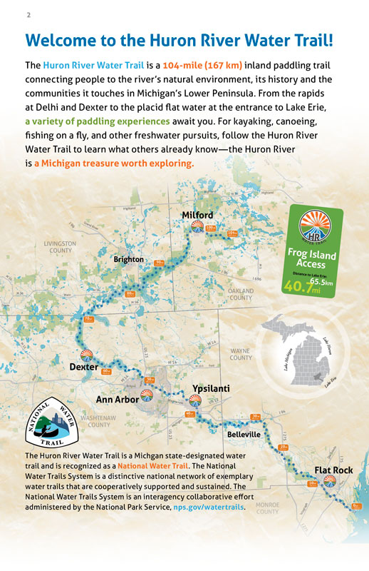
- Index maps to all 104 river miles/167.4 kilometers
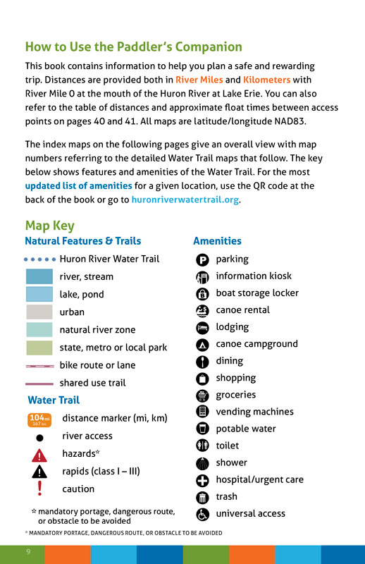
- Map Key detailing amenities, hazards, and more
- Latitude and longitude coordinates for all launches
- Distances between access points
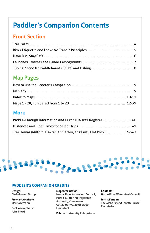
- Launches, liveries and canoe campgrounds
- Distances and float times for more than ten select trips
- Recommendations for a five-day paddle-through with options for camping
Consider making an additional donation to the Huron River Watershed Council when you purchase a Paddler’s Companion! We depend on your support to protect the Huron River for people and nature.